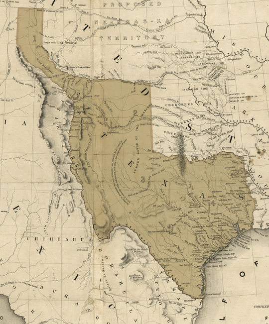
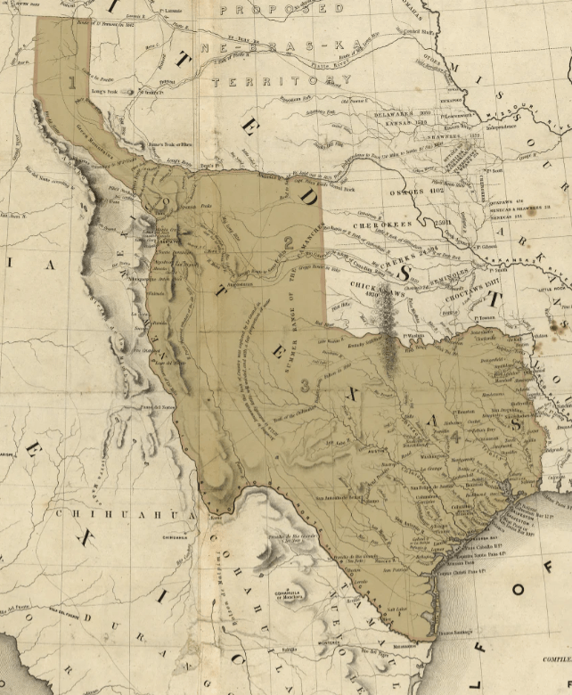
The Lone Star Republic - 1844 Map - Fine Art Print
In 1844 all eyes were on Texas.
The Lone Star Republic was a whopping jewel set in the middle of the continent.
To Great Britain and Mexico, Texas was the key to keeping the expansionist United States in check. To expansion minded Americans, she was the key to Manifest Destiny.
1844 was an election year, and the politicos in Washington were speechifying and pamphletizing about how annexing Texas would affect the political balance of power.
The Army generals looked into their crystal balls and saw that a war over Texas was the most likely of all possible futures.
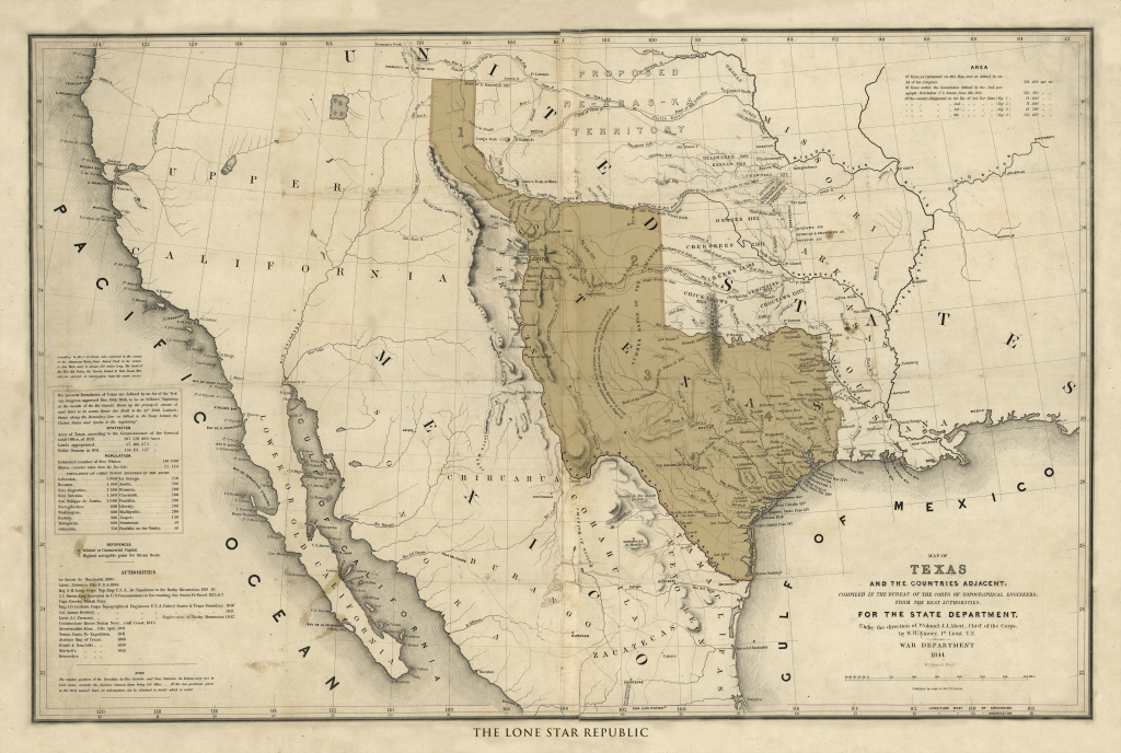
Planning for that contingency, the army ordered Lt. William H. Emory of the Corps of Topographical Engineers to produce a map.
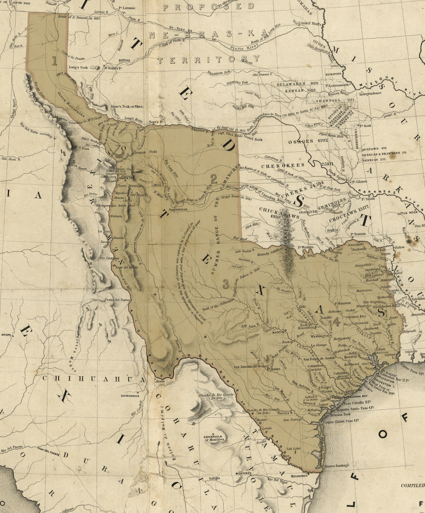
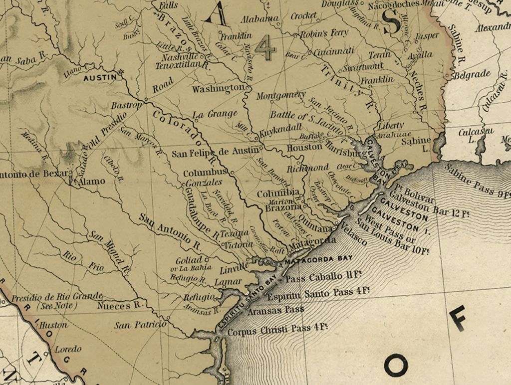
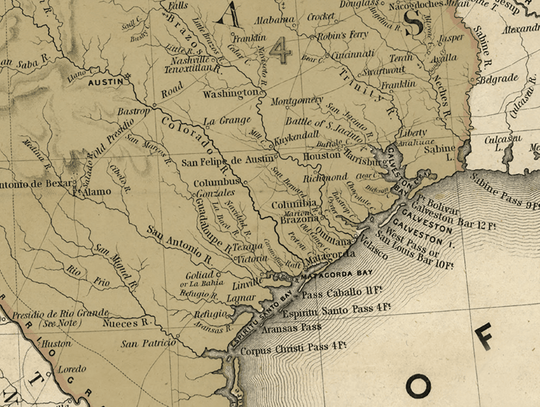
In creating this map, Emory compiled the best information that was known about Texas and the surrounding territories.
Apart from being the most accurate depiction of Texas produced during the Republic era, this map also served as a political pronouncement in two ways.
First, it recognized Texas as a separate political entity. No US government map had done that before.
Second, it shows that the United States assumed that if Texas became a state, it would do so with boundaries as defined by the first Congress of the Republic of Texas in December of 1836.
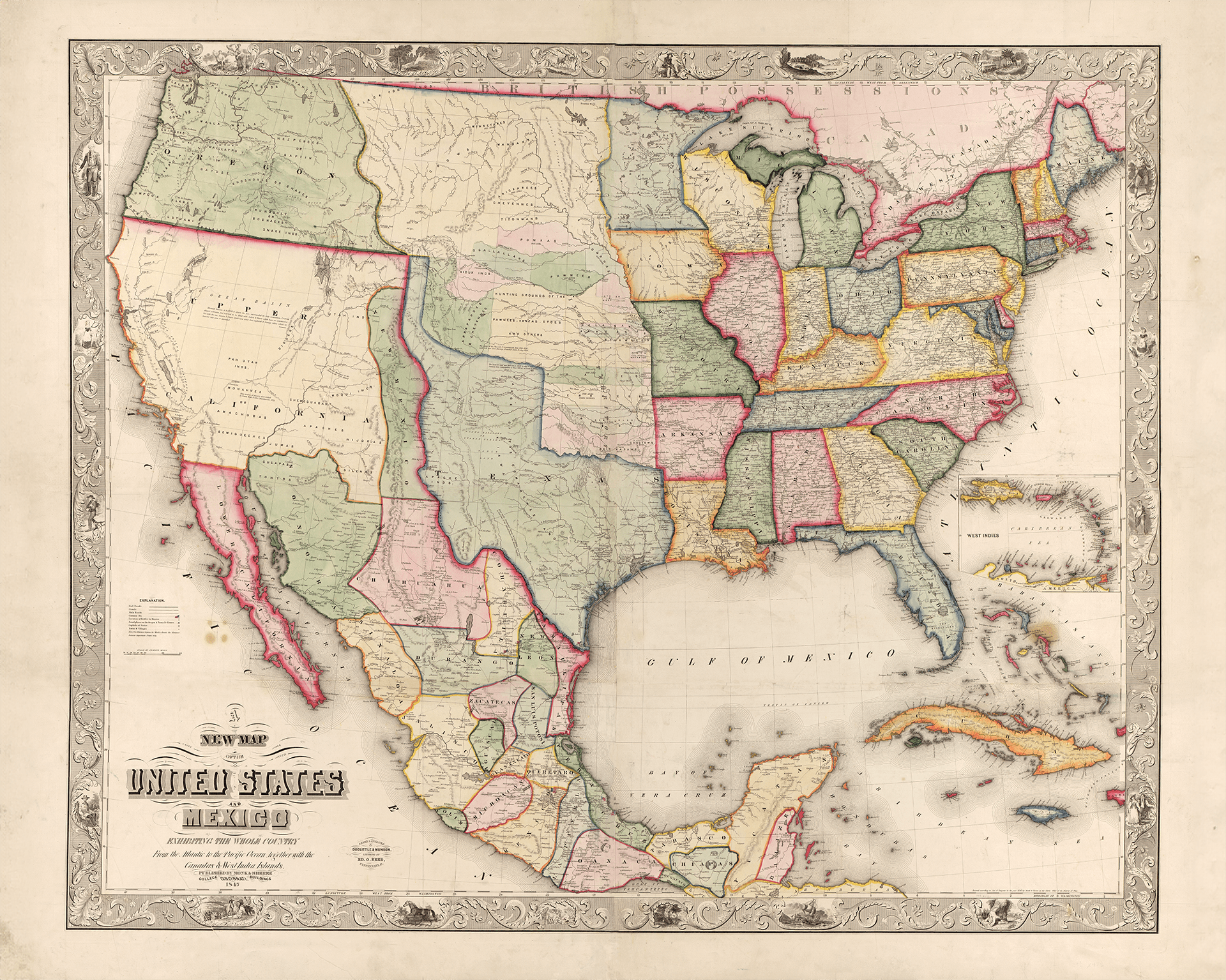
Those boundaries remained in place until the Compromise of 1850, when in return for paying off $10 million of the former Lone Star Republic's debt, Texas gave up to the Federal Government her claims to the Eastern half of New Mexico, a third of Colorado, and portions of Kansas, Oklahoma and Wyoming. That's about twelve cents an acre.
So here is Texas at her grandest extent, before setting her star in the American constellation and being whittled by compromise.
Physical Details
- 36 by 24 inches
- On heavyweight fine-art paper
- Pure Republic
This is a museum quality fine-art print.
The paper is acid free archival watercolor with an elegant ever so lightly textured finish. This surface allows the inks to 'bite', reproducing the shading and tonality of the original map vividly, beautifully, and exactly.
The inks are guaranteed color-fast for 80 years, which means you won't need to lay out the extra money for UV glass. You can hang your map in direct sun and it will be just as bright when they are passed on to the next generation it is the day it ships.
It's an instant heirloom.


