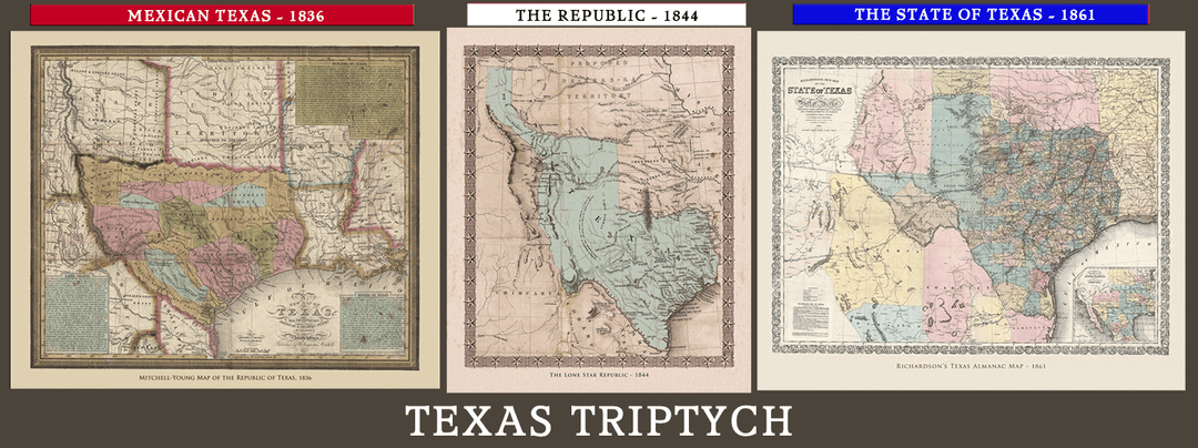
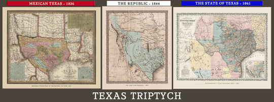
The Texas Triptych - Three Map Collection
The Evolving Shape of Texas
When I say Texas, what shape springs to mind for you? Over the last couple of centuries, the name "Texas" represented several shapes. Most people only recognize one...maybe two.
Each shape represents a vital epoch in our history.
Each shape was the container that held (and holds) a unique cast of characters acting on the historical stage.
This three-map collection brings the evolving shape of Texas and the full saga of her history home to you - the players, the politics, the battles, and probably some of your kin.
Here are three important maps made at pivotal times in Texas history. This is what you get:
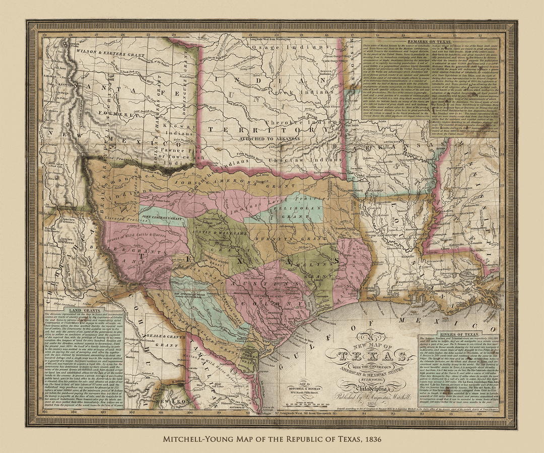
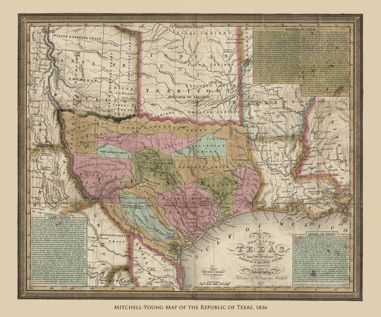
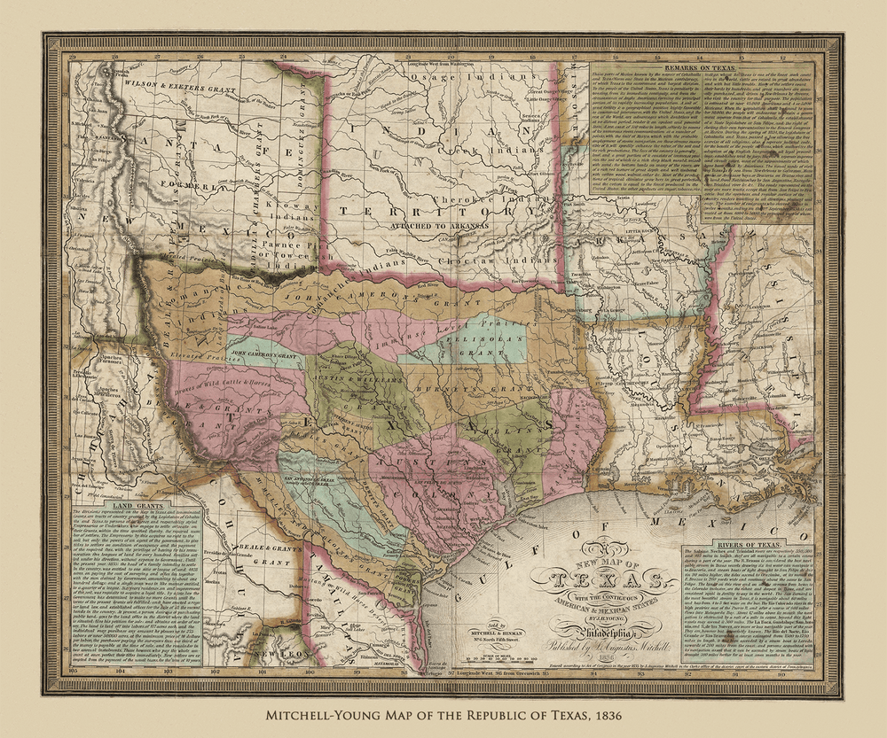
1) The Mitchell-Young map pre-dates the Revolution by just a hair. It was made as Santa Anna's army made a grueling winter march into Texas. It was a pocket map, meant to be carried by would-be Texians en route to Mexican Texas. It contained everything an emigrant would need to know about his new home:
- It shows the empresario grants, towns and roads between them.
- Shows rivers and creeks, and details their navigability by steamboat.
- Displays the ranges of various Indian tribes.
- Explains the political climate of Mexican Texas.
- Gives the requirements for receiving a grant or purchasing land in Texas.
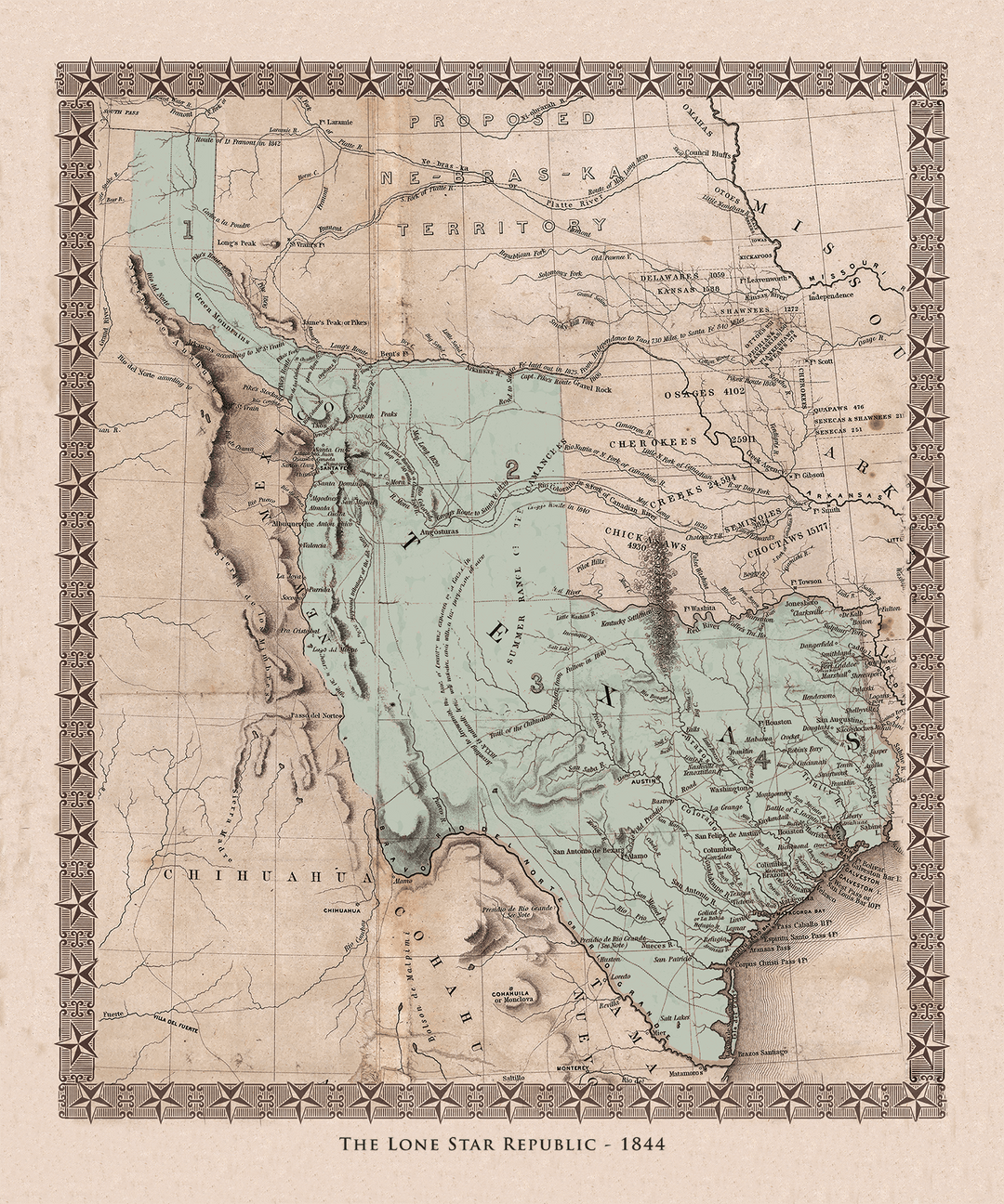
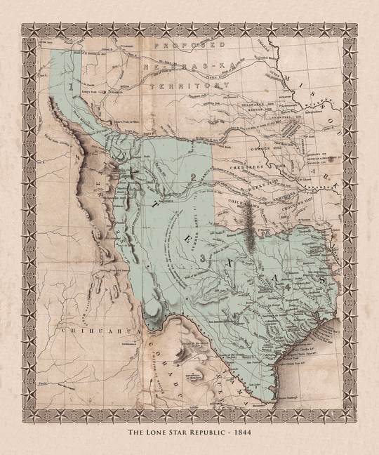
2) The Emory Map of the Republic of Texas was published in 1844, as Texas annexation was being hotly debated in Washington D.C. This was the first government map to recognize Texas as an independent republic - an entity separate from Mexico. In Emory's map, Texas shows off her "stovepipe" shape, encompassing half of New Mexico with a northern border stretching clear up to Wyoming. This is Texas at her grandest.
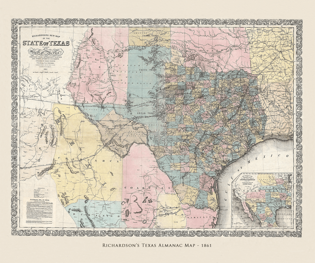
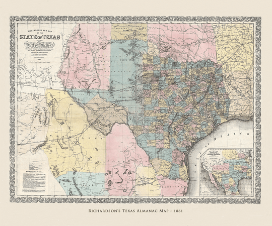
3) The Richardson Map of Texas was published on the eve of the Civil War, prepared for use in early issues of the Texas Almanac. It depicts the shape of Texas that all of us were born into (or arrived in later), recognized the world over. Of note on this handsome map is a list of all the railroads operating in the state just prior to the Civil War. Our counties changed a bit after this, but our shape remained the same.
Hang these side by side as a Texas history triptych, with the stovepipe Republic in the center, if you have the wall space, for a dramatic tour of Texas over time. Or scatter them around your home to present your guests with a different history lesson in each room.
They're sized to fit in standard frames (24" x 20" and 20" x 24") so you don't have to make a big fuss over matting and framing unless you really want to.
Physical Details
- Landscape maps are 24"x20", portrait-oriented Republic map is 20"x24"
- A visual history class for you and your guests
- Printed in Corpus Christi on heavyweight fine-art paper
- Open edition maps
We print only on acid-free fine art paper, with an elegant lightly textured finish. Our inks are guaranteed colorfast for 80 years, which means you won't need to shell out the extra money for UV glass. Hang your map in direct sun and it will be just as bright when passed on to the next generation it is the day it ships.


